Annapurna Circuit
Annapurna Circuit Trek, Nepal
The Annapurna Circuit is a famous trek that completes a loop around the Annapurna mountains in Nepal. By some accounts, it was one of the most famous (and sought-after) treks in the world.
However whilst the views of the Himalayas are as magical as always, for some people the replacement of the original walking route with roads to serve the local people have detracted from the original adventure.
I definitely don’t begrudge local people improving their services (such as roads). There has been a push in recent times to develop the Natural (New) Annapurna Trekking Trails. More on that later!

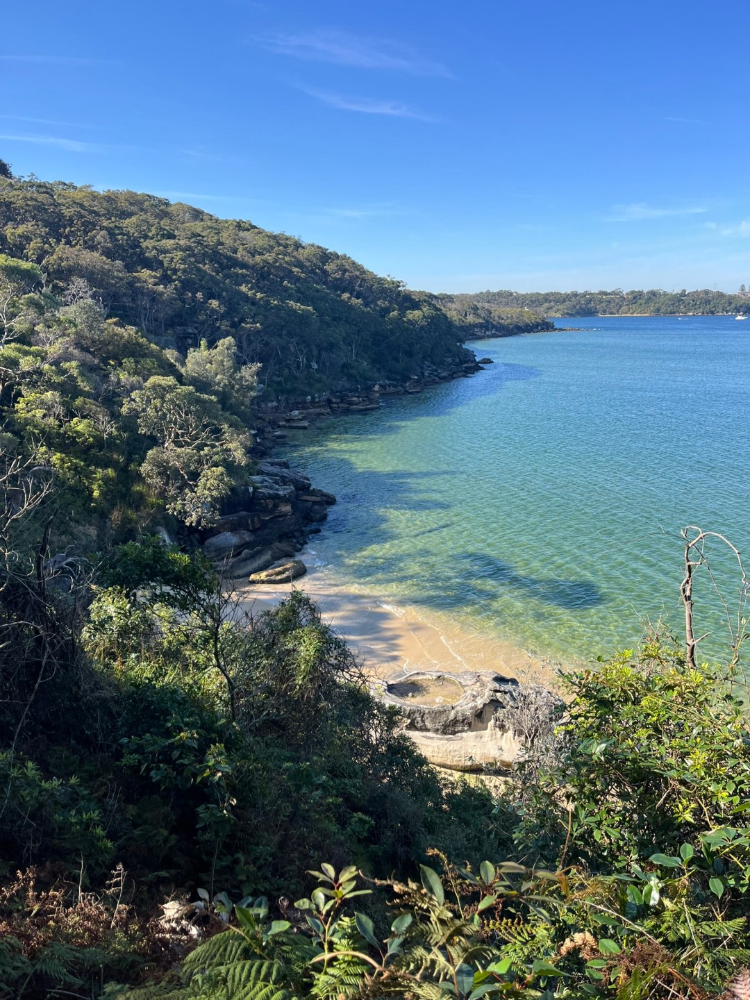
Lower elevation near start of trail

Old trail opposite river – now closed from landslides

Waterfalls are common!
I joined a 15-day tour group. Due to the political unrest in Nepal in September, the tourist numbers are well below normal (despite being peak season). There were 3 of us on the tour, so we had a lot of flexibility! As an unexpected bonus, it also meant I had a private room most nights. Our accommodation was in guesthouses along the route. These were generally comfortable, but none had heating in the rooms & most had no hot water. It’s also useful to know that outside of Kathmandu and Pokhara, toilet paper and towels are rarely supplied. Bring your own! Each guesthouse had a restaurant, and the menu was very familiar each time – obviously the prices go up as you get further from supply points.
Traditionally, the trek would form a loop around the Annapurna mountains. However much of the trail has been replaced with roads. This is great for the locals, but road sections can get very dusty! Besisahar is the “traditional” trek starting point, however we started further along at Ngadi to avoid busy roads. From there, there’s about 50:50 road walking until Chame. After Chame there’s more alternatives to the main road and traffic decreases.

Our trek wound up the river valley towards the pass

Jagat – our destination after first full day of hiking

One of the 15 suspension bridges during the hike!
We started the trek at Ngadi (900m elevation). Over the next few days we stayed in Jagat (1300m), Dharapani (1900m), Chame (2700m) and Upper Pisang (3300m). The views got better as we went up, and after Chame there was very little traffic. Where possible we hiked on the trails off the road, which could get very dusty! Having a guide helped, who knew which trails to avoid (mostly due to landslide damage / risk)

Enjoying a break beside the river

Looking back down the river. The road can be seen on the opposite bank

Not sure what happened to the third billy goat gruff…
We decided to use the next town (Ngawal – 3700m) as an acclimatisation stop for the altitude (instead of Manang), which allowed for a side climb to a 4000m peak (which happened to have a cave at the top!) The walk up was challenging, as the elevation made it harder to get enough air. The walk went straight up around 1600 steps!

Fortunately we did not have to cross THAT bridge

Views of the Annapurna range grew further up the trail

Yak on the trail near Upper Pisang
Poor weather was forecast for the next day, so we decided to get up early to beat the weather to Manang. However it turned out we had about 1m of snow overnight & all through the next day! We had to take an unplanned rest day, with a lot of uncertainty if we would get to continue the journey. We had no power and no internet, so those of us stuck in the guesthouse played a lot of yahtzee and cards until nighttime! The -20 sleeping bags came in very handy…

Views across the Annapurna range

View from Upper Pisang

Suspension bridge, prior to a 400m climb over 1.6km
The snowstorm was due to a combination of weather phenomena (including a cyclone in the Bay of Bengal) resulting in significant unseasonall falls across Nepal. Without power and data, we used FM radios to hear the impacts and forecasts.
In the early stage, it seemed unlikely we would still be able to cross the pass & many hikers were heading back down from Manang once the road reopened. Given we were in a remote town, we decided to push on to Manang (3550m) after 2 nights, to get a better update and either continue or get transport from there. It would be a while before roads opened up to Ngarwal anyway.

Ngarwal storm survivalists!

Cold feet on the way to Manang

Happy trekkers
We ended up spending two nights waiting out the storm in Manang, before making the decision to push on to Ledar (4200m). This was a difficult day in the rain, with snow & sleet underfoot. Eventually your boots fill with ice water, and I discovered my faithful rain jacket, gloves and backpack cover were no longer waterproof! Fortunately the tea house in Ledar had a roaring fire going in the restaurant & could thaw out a little!

Trekking through the snow

Trail to high camp from base camp

Snow doesn’t stop suspension bridges!
The next day, the sun finally returned and the scenery somewhat made up for trudging through the snow. After lunch in Thorong Phedi (4450m), there’s a final 400m climb over just 1km to the high camp. A steep & difficult climb at the best of times, the snow definitely made it harder! It took about 1.5hrs. High camp (4900m) was very cold, and rooms were also very dusty. It’s well above the vegetation line, so in normal (dry) times it would be quite a dustbowl.

View across the Annapurna range from High Camp

High camp views

High camp at night – looking towards the pass
We started at 4am the next day for the pass – Thorong La pass is at 5400m, and the last 500m climb over about 5km typically takes about 3 hours. Of course, the snow made it so much harder but we made it!
Someone had a mountain bike at the top! Of course they were “filming content” of themselves and their bike, but I think they forgot to mention they paid a porter to carry it up there for them – they didn’t carry it themselves…

Hiking up to the pass before sunrise

Almost made it to the pass!! 5417m

Taking a break after the pass
From the top of the pass, it’s then a steep descent down to the town of Muktinath (3800m) for the night’s stay. The snowline stopped at about 4200m, and it was sooo much easier walking from that point!
In 2014, 42 people were killed in avalanches along this trail. We saw a couple (well away from the trail), but our guide was aware of the risks and monitored the official updates. The snow definitely added to the sense of adventure & created different scenery, but made for much harder (and colder!) conditions.

The snowline stopped but suspension bridges didn’t

View looking north coming down from the pass
From Muktinath, we bypassed trekking a road section & took a jeep to Tatopani (1200m). Tatopani felt almost sub-tropical compared to the higher elevations! There’s a hot springs there & we definitely enjoyed a soak in the hot water.

Hiking south of the Annapurna’s

View through the valley
Tatopani to Ghorepani (2800m) means a 1600m climb over about 18km – a fairly consistent uphill climb. Someone said there’s 3200 stairs that day. I didn’t count them, but that sounds about right!
Ghorepani is the base of Poon Hill – a famous sunrise (and sunset) watching point. It’s a 400m climb over about 1.5km, so lots of stairs again. We left at 5am to watch the sunrise views over the Annapurna range (along with almost every tourist in the region!) From poon hill we walked back past Ghorepani and on to Nayapul (1100m). From the top of Poon Hill, it’s a 2100m descent over about 20km, so was pretty hard on the knees all day!


From Nayapol the trekking ended, and we took a jeep to Pokhara – Nepal’s 2nd-largest city. Pokhara is a pretty town on the side of a large lake.
Due to the scenic outlook and accessible mountains with reliable thermals, Pokhara is a hub for paragliding! I took the opportunity to try it out, and was not disappointed. We jumped from 1600m, rode thermals up to 2000m and landed lake-side at 800m. The whole flight took about 30 minutes. My pilot had 17 years experience, which was very comforting.
It’s a very popular activity – there were over 100 other tourists who had the same idea on the day I went

Launchzone, looking towards the lake

Paragliding

Paragliding
After a few days in Pokhara, I flew back to Kathmandu. It’s a journey that takes 9hrs on a bus, or about 25mins by plane…
Reflecting on the trek, I can understand why some purists think the trek has lost some of it’s original appeal. I like the concept of a continous walk and the replacement of the trail with roads has definitely impacted on that. Some parts are too dusty, some are just too dangerous.
However the incredible scenery is still there, and some tours now promote “highlights” rather than a “circuit” – these include places like Tilicho Lake and Annapurna Base Camp. These would be worth investigating as an alternative